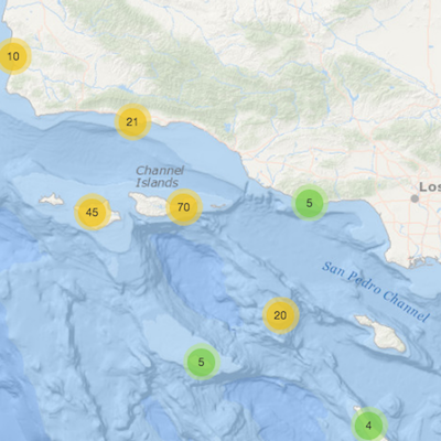
SCB MBON Interactive Maps
Interactive ecosystem for marine sanctuary
The Channel Islands national marine Sanctuary is using SCB MBON data to inform on the condition of ocean health in the Sanctuary.
Ocean Report
Draw a custom area anywhere in U.S. waters or pick from a predefined list of locations to get instant custom reports. Reports include descriptive infographics and supporting data that can be used for offshore planning, permitting, environmental review, public relations, and more. New features allow printing by industry, sharing, and adding custom coordinates. .
Benthic biodiversity from image analysis
This interactive mapping tool shows the abundance and diversity of benthic kelp forest species in the Santa Barbara Channel.
Relevant datasets include:
Reef communities
This interactive map shows the fish, invertebrate and algae living in the kelp forests and deep reefs in the Santa Barbara Channel.
Relevant datasets include:
Gray Whale sightings
This interactive map shows the northbound gray whale sightings by Gray Whales Count
Platform Decommissioning
This interactive map shows the fish biomass, abundance, and somatic production projections under alternative platform decommissioning scenarios
Relevant datasets include:
Beach biodiversity
This interactive map shows the richness and total number of birds along the beaches in Santa Barbara County
Relevant datasets include:
Deep fish community
This interactive map shows the fish density and richness at deep reefs: Anacapa Passage, Footprint, and Piggy Bank
Relevant datasets include:


